Trying to figure out where to live and hang out in Arcata? You’re not alone. Arcata centers on a walkable Plaza and a lively campus, with redwood-covered hills and bayfront marsh trails a short walk or drive in any direction. In this guide, you’ll get a clear feel for each neighborhood, where people meet up, and how the parks and trails connect your day-to-day. Let’s dive in.
How Arcata fits together
Arcata’s heart is the Arcata Plaza, a compact green ringed by cafes, indie shops, and events like the farmers’ market and Arts! Arcata open-studio nights. That lively core blends into the Cal Poly Humboldt campus next door, known locally for its hills and stairs, which shapes the foot and bike traffic around it. On the edges, two big nature anchors define daily life: the bayfront Arcata Marsh & Wildlife Sanctuary and the hillside Arcata Community Forest, each with trailheads close to town. These places set the tone for how each neighborhood feels and how you’ll move through your week.
- Get a feel for Plaza life and events in the Arcata Visitor’s Guide, which highlights the market, arts nights, and Arcata Bottoms outings (Arcata Visitor’s Guide PDF).
- Learn about the Arcata Marsh’s trails, Interpretive Center, and weekly guided walks on the city’s official page (Arcata Marsh & Wildlife Sanctuary).
- Explore the Arcata Community Forest and Arcata Ridge Trail maps to see how neighborhoods connect to redwood trails (Trail Maps).
Neighborhoods at a glance
Below, each area includes what it feels like on foot, nearby nature, housing vibe, and one concrete local detail to anchor your search. Neighborhood names and descriptions align with the city’s planning resources (City of Arcata, Chapter 4).
Downtown and the Plaza
- On foot: Very walkable small blocks around the Arcata Plaza with plaza-side seating, galleries, and a classic movie/theater vibe near the Minor Theatre. You can stroll to groceries, coffee, and everyday services.
- Nature access: Short walks or quick rides to the bay and marsh trails. Downtown is a natural meetup before heading to the Marsh or Community Forest.
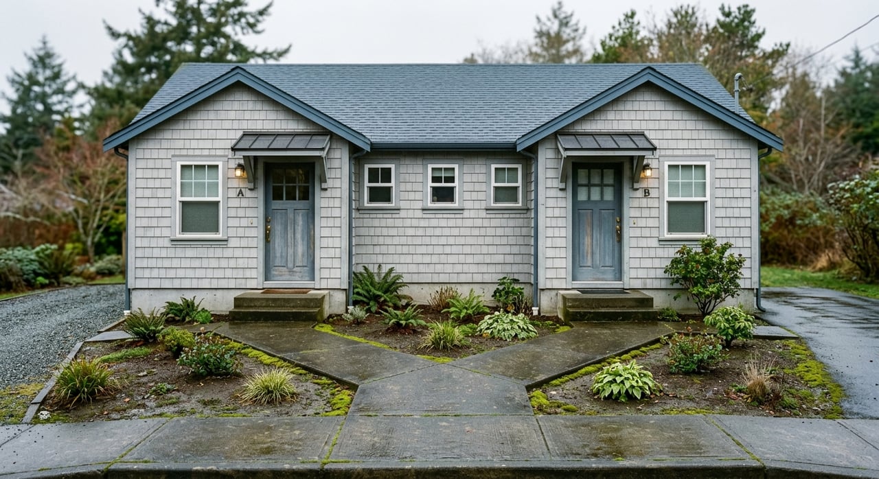
- Homes: Smaller-lot Victorian and Craftsman-era cottages, duplexes, and low-rise apartments closer to the Plaza.
- Local detail: The Plaza hosts a weekly seasonal farmers’ market and regular arts nights, anchoring Arcata’s public life (Visitor’s Guide).
Campus-adjacent blocks
- On foot: Pedestrian and bike focused, with short uphill routes and stairs tied to the compact, hilly campus environment that locals jokingly call “Hills and Stairs University” (Cal Poly Humboldt note).
- Nature access: The Community Forest and neighborhood trails back right onto campus-adjacent streets, so you can be among redwoods within minutes (Trail Maps).
- Homes: A mix of student rentals, duplexes, and older single-family homes, with more settled single-family pockets a short walk uphill.
- Local detail: Quick trail links from the east side of campus drop you into redwood loops and ridge connectors.
Curtis Heights and Woodland Heights
- On foot: Quiet, hillside streets where you’ll likely drive for errands but can walk to trailheads. Sidewalk patterns vary with the slope.
- Nature access: Direct access to the Arcata Community Forest and the Arcata Ridge Trail for hiking and mountain biking (Trail Maps).
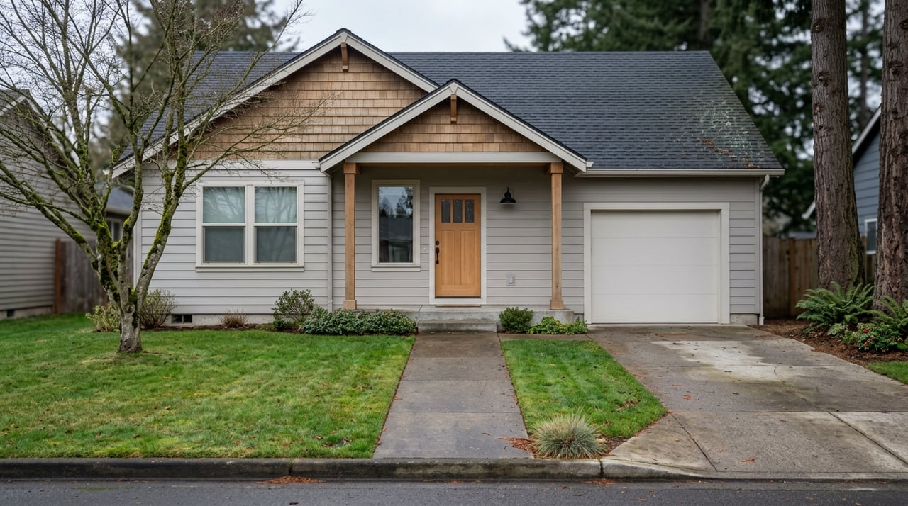
- Homes: Low-density single-family, often custom or ranch-style, on wooded lots that feel tucked into the redwood canopy.
- Local detail: Popular trailheads near West End Road and Diamond Drive put forest loops right off neighborhood streets.
Sunny Brae
- On foot: Mixed residential with a convenient neighborhood retail strip for daily errands. Streets blend flats with gentle hills.
- Nature access: The Sunny Brae Forest tract links into the larger Community Forest, so you can hop onto the Arcata Ridge Trail close by (Trail Maps).
- Homes: Modest single-family homes on small lots with yard space and local services within a short drive or walk.
- Local detail: Sunny Brae is a useful midpoint if you want quick forest access without living on a steep hillside.
East Arcata and Bayview (flats to Fickle Hill)
- On foot: The lower flats run on a traditional street grid and feel more walkable. As you climb Fickle Hill, homes get newer and larger, and daily errands are more car-based.
- Nature access: Close to Redwood Park and Community Forest entries on the east side for easy redwood time (Trail Maps).
- Homes: Victorian-style flats below, more modern hillside homes above, as noted in city planning documents (City of Arcata, Chapter 4).
- Local detail: Redwood Park sits at the east ends of 11th and 14th Streets, making forest walks a quick detour from neighborhood streets.
Westwood–Vassaide and Valley West
- On foot: More suburban and car oriented, with Alliance Road as a key north-south arterial. Valley West collects most highway-side retail and chain options.
- Nature access: Quick drives west to coastal trails and north to the river, plus local parks within neighborhood pockets.
- Homes: Single-family ranch and bungalow styles, manufactured-home pockets, and more recent small subdivisions.
- Local detail: The Valley West shopping cluster offers highway-adjacent convenience for errands (City of Arcata, Chapter 4).
Samoa Boulevard, the Marsh, Arcata Bottoms, and Bayside
- On foot: Samoa Boulevard is a main gateway into downtown and the route to the Arcata Marsh. The Arcata Bottoms west of town feel open and pastoral, popular for walking and cycling.
- Nature access: The Arcata Marsh & Wildlife Sanctuary features about 307 acres of constructed wetlands and roughly 5 miles of walking and biking paths, with an Interpretive Center at 569 S G St and Klopp Lake parking off South I Street. Free guided walks run weekly (Arcata Marsh).
- Homes: As you head toward Bayside and along Jacoby Creek Road, lots take on a more semi-rural feel with space and small-farm characteristics (Visitor’s Guide).
- Local detail: Landmarks like the Bayside Grange anchor community life in this edge-of-town corridor (Visitor’s Guide).
Where locals gather
- Arcata Plaza and the G–H–J Streets grid: Plaza-front cafes, galleries, and maker shops pair with the farmers’ market and arts nights for regular public life (Visitor’s Guide).
- Alliance Road: Neighborhood shopping and corner markets that handle everyday errands along Arcata’s main surface arterial (City of Arcata, Chapter 4).
- Samoa Boulevard: A functional corridor that mixes industrial footprints, the Marsh entrances, and the path into the Plaza (City of Arcata, Chapter 4).
- Valley West near Highway 101 and SR 299: A car-friendly cluster with chain restaurants, motels, and a shopping center for road-trip convenience (City of Arcata, Chapter 4).
Top nature hangouts
Arcata Marsh & Wildlife Sanctuary
If you want an easy bayfront nature fix close to downtown, this is it. You’ll find roughly 5 miles of multiuse paths through an urban wetland, with birding, water views, and interpretive signage. Start at the Interpretive Center at 569 S G St or meet friends at the Klopp Lake parking on South I Street. The city and local groups host regular free guided walks (Arcata Marsh).
Arcata Community Forest and Redwood Park
On the east side, a redwood canopy shades loop trails that link neighborhoods to ridge views. Popular trailheads include Redwood Park at the ends of 11th and 14th Streets, plus West End Road and Diamond Drive. The Arcata Ridge Trail stitches northern and southern forest tracts together for longer outings (Trail Maps).
Mad River Beach and the Arcata Bottoms
West of town, grassy pastures and coastal dunes create a different feel than the forested hills. These routes are local favorites for low-key walks and sunset drives, and they pair well with a Plaza coffee stop before or after (Visitor’s Guide).
Lanphere Dunes Preserve
This protected dune system offers limited-access tours that showcase a rare coastal habitat. It is often mentioned as a distinctive stop to pair with Arcata-time outdoors (Visitor’s Guide).
How to choose your Arcata fit
Use these quick guidelines to match your lifestyle to an area:
- Very walkable: Plaza and downtown-adjacent blocks near campus. Daily errands and dining work on foot, and trailheads are a short ride away.
- Walkable with short hills: Curtis Heights and other hillside pockets where you may drive for groceries but can walk to redwood trails.
- Car oriented: Westwood–Vassaide and Valley West near highway corridors where errands and dining lean on the car for convenience.
If you love the idea of stepping from morning coffee to forest or marsh within minutes, focus your search on Plaza, campus-adjacent, Sunny Brae, or the east-side flats. If you want bigger lots or a tucked-in-the-woods feel, look to Curtis Heights, Fickle Hill, or semi-rural Bayside. For easy highway access and one-stop errands, Valley West and Alliance Road corridors make everyday logistics simple.
Pro tips for exploring
- Start at the Plaza. Grab a map, people-watch, and plan your loops to the Marsh or Forest from the center of town (Visitor’s Guide).
- Pair neighborhoods with trails. Touring Sunny Brae or the east-side flats? Add a short Redwood Park walk. Checking out Samoa Boulevard or Bayside? Add a Marsh loop from the Interpretive Center at 569 S G St (Arcata Marsh).
- Note your daily routes. If you value on-foot errands and plaza nights, stay close to downtown. If space and trailheads matter more, weigh the hillside or semi-rural edges.
When you are ready to match a home to the way you live, we’re here to help. As a locally rooted team backed by national marketing reach, we guide you street by street and trail by trail so your choice feels right.
Ready to take the next step or want a neighborhood-level consult? Connect with Redwood Realty for local guidance, a quick value check, or to set up a customized property search.
FAQs
What are the most walkable areas in Arcata?
- The Plaza and nearby downtown-campus blocks are the most walkable, with small blocks, daily services, and events all centered on the Arcata Plaza (Visitor’s Guide).
Where can I access redwood trails from town?
- Head to Redwood Park at the ends of 11th or 14th Streets or the West End Road and Diamond Drive trailheads for quick Community Forest access (Trail Maps).
How do I visit the Arcata Marsh?
- Start at the Interpretive Center at 569 S G St or the Klopp Lake parking on South I Street, then choose one of roughly 5 miles of multiuse paths and consider a free guided walk (Arcata Marsh).
What housing styles are common near the Plaza?
- Expect smaller-lot Victorian and Craftsman-era cottages, duplexes, and low-rise apartments within walking distance of the Plaza and campus (City of Arcata, Chapter 4).
Which areas are best for quick highway access and errands?
- Westwood–Vassaide and Valley West near Highway 101 and SR 299 offer car-friendly shopping clusters and franchise options for fast errands (City of Arcata, Chapter 4).